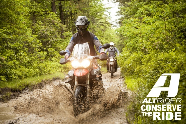
Bruce and I are still on the limited duty summer tour. As he's yet to restore his leave banks, we've decide the doodle the summer away on long weekends, instead of our normal 3 week gala event. This leaves us the good fortune of having a time slot to attend this event
http://www.altrider.com/conserve-the...-only/pid/1392
http://www.altrider.com/conserve-the...-only/pid/1392
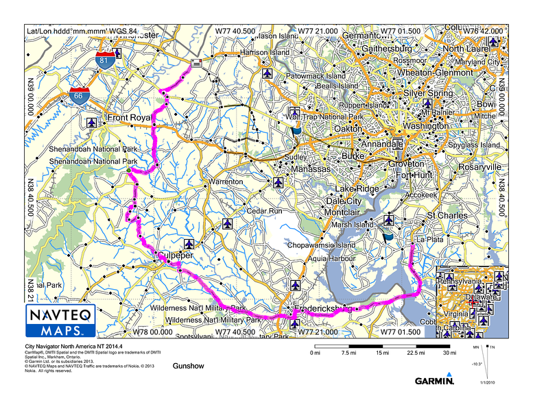
This was the third year that Altrider hosted it. And boy, was it fab! : While it was certainly a fun packed few days, we needed to ensure we got max bang for our buck. With that, I took Bruce captive on my little escapade. For those that have been on said escapades before, know that time is no essence when I am dreaming up tracks. My motto: Never too much track for too little time". So spritely early on Friday, we departed our humble adobe for Woodward, PA. For the sake of general directions, Woodward, PA is Northwest. My track heads south really, it was intentional to avoid the sprawl and crawl of summer time traffic, the track heading is south towards Fredericksburg.
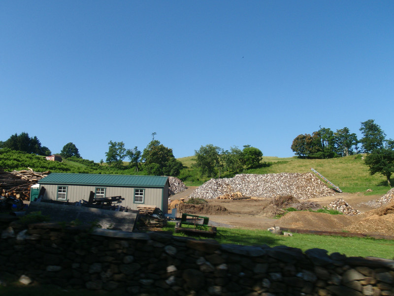
Stone Fences and making big trees into little logs
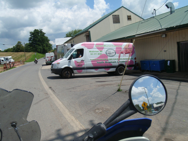
Been here just last weekend on the Covered Cream Tour!
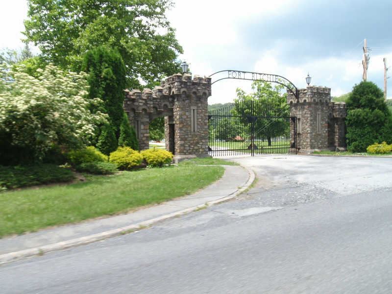
Ft Ritchie
From there, head out Mount Weather Emergency Operations Center/ High Point Special Facility (HPSF).
"The facility is a major relocation site for the highest level of civilian and military officials in case of national disaster, playing a major role in U.S. continuity of government (per the Continuity of Operations Plan)".
Mount Weather is the location of a control station for the FEMA National Radio System (FNARS), a high frequency radio system connecting most federal public safety agencies and U.S. military with most of the states Ironically, we've done the Mt Weather track a few times now, Tarmac Track Around Fredericksburg/Middleburg, VA. From Mt Weather, we jump onto the Trans Eastern Trail Track 09. We'd already done a good portion of it previously, but we rode it to the end.
By the time we pull into camp, it's a solid 13 hours later.
I think Blaster is onto my gamesmanship!
And so the story begins.
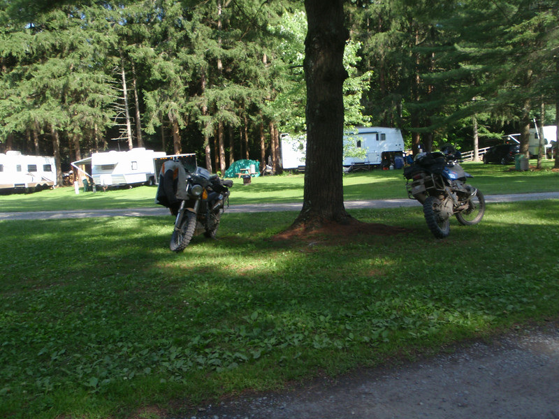
As we pull into Woodward Caves Campground. It's sits nicely tucked into the base of Bald Eagle State Forest. The weather is absolutely fab, low humidity, very comfortable mercury and few mosquitos to be had.
Being late to picking's for campspots, we end up under this old pine tree. It proceeded to wick water on us all weekend long. At first, it pelted me I thought it might be sap. Nope, it was water and I was grateful for the nice swamp cooler effect it was providing!
Being late to picking's for campspots, we end up under this old pine tree. It proceeded to wick water on us all weekend long. At first, it pelted me I thought it might be sap. Nope, it was water and I was grateful for the nice swamp cooler effect it was providing!
You can actually see it's tree buddy rain too!
I have to give it to altrider, they gave it quarters for the pay showers, they paid the admission to the Cave, they had munchies at every turn, and plenty of liquid to boot (even top shelf liquor ).
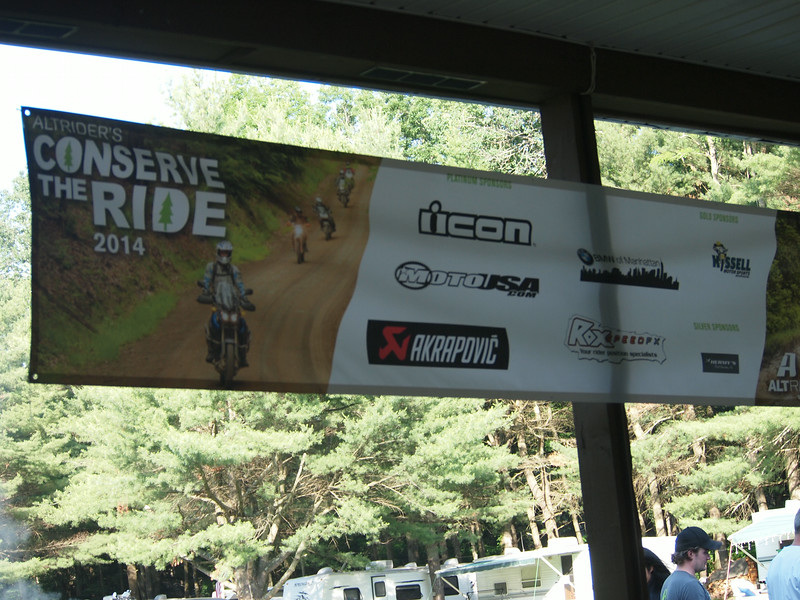
Our sponsors for the weekend:
Our sponsors for the weekend:
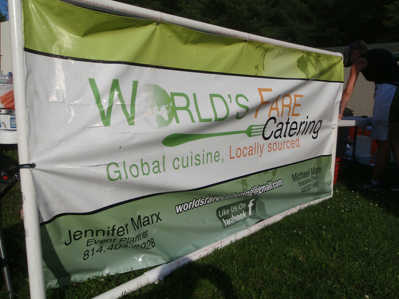
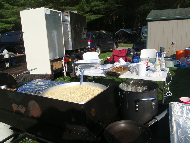
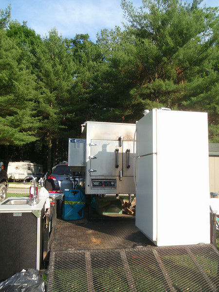
We had 5 meals catered by this joint. The proprietor is a rider himself, and certainly a foodie! Was probably the best grub I've ever had at one of these shindigs!
The evening ends with a nice over view of the tracks for Sat. The main track is described as Level 1, fire roads/street tires fine. Level 2 knobbies required. Level 3. "The SMCC speaker describes himself as a AA Enduro Rider. I don't even like taking my bike down these tracks, but trust me, I am sure ya'll will give it a go anyhow".
There are 7 alternates. Two level 3s (one of which is right at the start) and the rest level 2s. Bruce and I hum and haw on what we should do. Certainly the levels 2, but yet we do have a hankering for the level 3s....
With formalities aside, we end the evening with a pictures show from Peru. He did the expedition with a group, and it was fun to hear the highs and lows of group expedition.
With daylight gone...time for the kegs to empty around the fire.
 RSS Feed