There are 10 parts of the GPX as ridden. It has been cleaned up of extraneous u-turns, however is largely original. It has been separated into 10 files, to meet the upload requirement of <1.9M. Easy file is *not* one day.
****NOTE: Please don't blindly download these to your GPS and leave for your route without first verifying your GPS can use them. There are variations in number of points, etc that each GPS can use*****
Download GPX file here
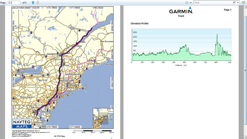
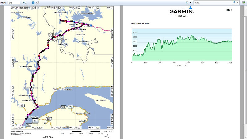
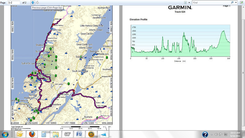
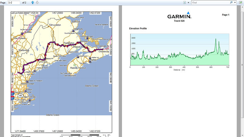
Maps as follows:
****NOTE: Please don't blindly download these to your GPS and leave for your route without first verifying your GPS can use them. There are variations in number of points, etc that each GPS can use*****
Download GPX file here
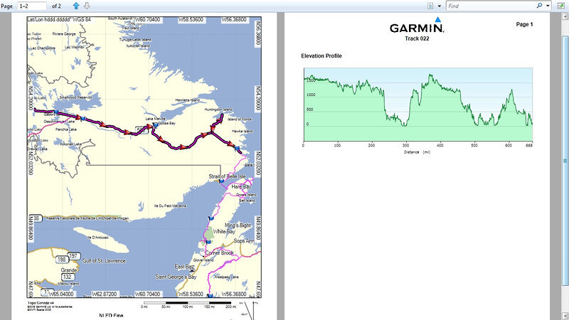
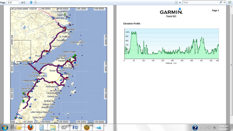
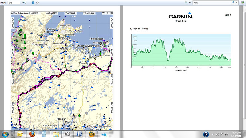
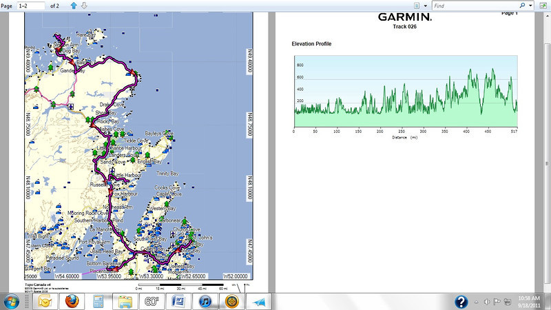
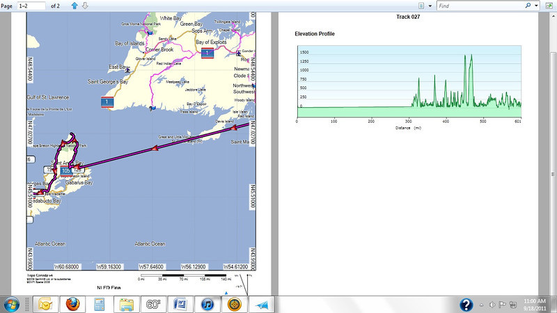
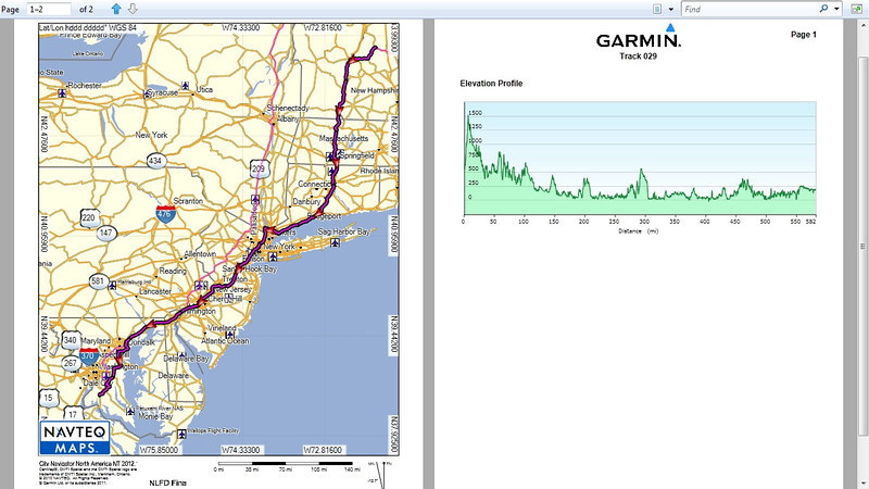
Maps as follows: